The Israel National Trail – A Journey Across Landscapes, Seasons, and Scale
The Israel National Trail (INT) is not just a hiking route.
It is a longitudinal journey across the country’s geography, climate zones, cultures, and natural rhythms. Following its recent extension, the trail now begins at Mount Hermon in the north and ends at the Eilat Field School in the south, offering hikers a continuous north–south traverse that reflects the full diversity of Israel’s landscapes.
Trail Overview: Length and Structure
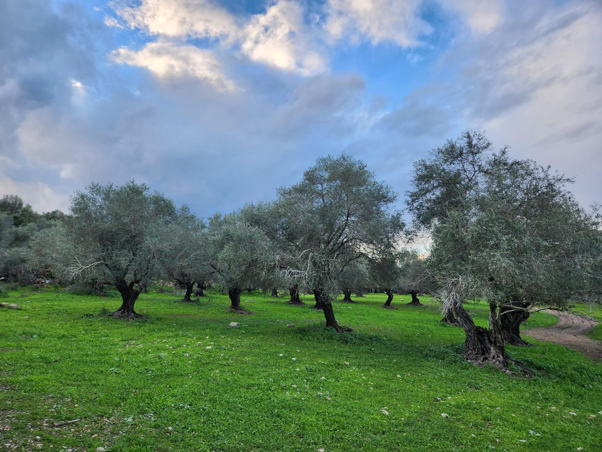
The Israel National Trail is approximately 1,100 kilometers (about 683 miles) long and is commonly divided into around 50–55 sections, depending on how stages are planned and combined. Each section typically represents a full day of hiking, though experienced groups often combine or adapt segments based on terrain, season, and logistical considerations. The trail passes through:
- The Upper and Lower Galilee
- Carmel and the coastal hinterland
- Central Israel and the Judean foothills
- The Judean Desert
- The Negev Highlands
- The Eilat Mountains
This variety makes the INT one of the most diverse long-distance trails in the region.
When to Hike: Seasons Matter
Because the trail crosses multiple climate zones, seasonal planning is critical.
- Spring (March–May)
Ideal for northern and central sections. Wildflowers, moderate temperatures, and long daylight hours make this the most popular season. - Autumn (October–November)
Excellent for desert and southern sections, once extreme summer heat has passed. - Winter (December–February)
Suitable mainly for desert segments. Northern sections can be cold, muddy, or snow-covered — especially near Mount Hermon. - Summer (June–September)
Generally not recommended, particularly in the desert, due to extreme heat and limited water availability.
A successful experience depends on selecting the right sections at the right time.
Water Availability and Planning
Water availability along the Israel National Trail varies significantly. Some sections pass near communities, springs, or facilities, while others — especially in the Judean Desert and Negev — require careful water planning and advance logistics.Up-to-date and reliable information on:
- Water points
- Trail conditions
- Section planning
is available through Society for the Protection of Nature in Israel, which maintains the official trail data and resources. Ignoring water logistics is one of the most common — and serious — mistakes made by independent hikers.
Accessibility and Transportation Challenges
Despite its popularity, most sections of the Israel National Trail are not easily accessible by public transportation. Trailheads are often located:
- Far from bus or train routes
- In remote natural areas
- At distances that make daily access impractical without private transport
For groups, this creates a significant operational challenge — but also an opportunity for better planning.
Guided Sections with Full Logistics – A Practical Alternative
Not every hiker needs (or wants) to walk the entire trail end-to-end.For quality-oriented groups who enjoy challenge, nature, and depth, a modular approach often delivers a far better experience. At Ahalan Olympus, we design guided Israel National Trail experiences that combine:
- Carefully selected trail sections
- Professional guiding and pacing
- Logistical support, water coordination, and safety planning
- Dedicated transportation to and from trailheads
This approach allows groups to focus on the hiking itself — not on access, timing, or resupply. Whether the interest lies in alpine landscapes, desert solitude, or geological transitions, the Israel National Trail offers exceptional opportunities when approached intelligently.
Final Thought
The Israel National Trail rewards preparation, respect for nature, and thoughtful execution. Walked wisely, it is not just a physical challenge — but a way to understand the land through movement, effort, and continuity.For groups seeking a meaningful outdoor experience that blends challenge, landscape, and professional support, selected sections of the Israel National Trail offer an exceptional framework.
Frequently Asked Questions – Israel National Trail
How many sections does the Israel National Trail have?
The Israel National Trail is commonly divided into approximately 50–55 sections, depending on how daily stages are planned. Each section typically represents one full day of hiking, though sections can be combined or adjusted based on experience, terrain, and season.
Where does the Israel National Trail start and end?
Following its recent extension, the trail begins at Mount Hermon in the north and ends at the Eilat Field School in the south, creating a continuous north–south route across Israel.
What is the best season to hike the Israel National Trail?
Seasonal planning is essential:
- Spring (March–May) is ideal for northern and central sections.
- Autumn (October–November) is best for desert and southern sections.
- Winter is suitable mainly for desert segments.
- Summer hiking is generally not recommended, especially in desert areas, due to extreme heat and limited water availability.
Is water available along the Israel National Trail?
Water availability varies significantly by section. Some areas pass near communities or water sources, while others — particularly in the Judean Desert and Negev — require advance water planning and logistical support.
Up-to-date information is maintained by the Society for the Protection of Nature in Israel.
Is the Israel National Trail accessible by public transportation?
In most sections, the trail is not easily accessible by public transportation. Many trailheads are located in remote natural areas, making private transport or organized logistics necessary — especially for groups.
Can groups hike selected sections instead of the entire trail?
Absolutely. Many groups prefer a section-based approach, focusing on the most scenic or challenging parts of the trail. This allows for better pacing, seasonal adaptation, and a higher-quality experience.
How can organized groups manage logistics on the trail?
With professional planning, groups can combine:
- Carefully selected trail sections
- Experienced guiding
- Coordinated transportation to and from trailheads
- Water and safety logistics
This approach allows participants to focus on the hike itself rather than operational complexity.